
Monterey Neighbors Around One Address
A Monterey neighbors search begins with the parcel around a known address. The open county map can identify adjoining parcels and their APNs, legal descriptions, jurisdictions, districts, and recorded-document clues. It does not publish owner or mailing-address fields, so the map is a geography tool rather than a household roster. The assessor, recorder, reverse directory, voter file, and community sources each add a different kind of evidence.
| Source | What It Shows About a Block | Access |
|---|---|---|
| Monterey County Parcel Report | Adjacent parcels, APNs, legal and district fields, document clues | Free web viewer; owners absent |
| Assessor Property Value Notice | APN-keyed values, exemptions, characteristics, available ownership facts | Free APN or assessment search |
| County Recorder indexes | Named parties to current and historical land documents | Online indexes, counter, mail copies |
| Qualified voter file | Possible registration and residence fields at an approved geography | Application and permitted purpose |
| Haines reverse directory | Listed address occupants and later reverse phone clues | California History Room, 1970-current |
| NCIP and civic records | Neighborhood boundaries, representatives, public meeting contacts | Public map and city records channels |
These sources do not all say “who lives next door.” A parcel shows land. A deed shows a recorded interest or transfer. A directory shows a printed listing. A voter extract, when lawfully obtained, shows a registration record. Combining them can establish a stronger local trail, but a property owner, mailing recipient, directory subscriber, or listed household head is not automatically every person at the address.
Map Monterey Neighbors from the Parcel Viewer
The Monterey County Parcel Report is designed for a point, line, rectangle, circle, polygon, or freehand selection. Start with the address locator, zoom until parcel edges are legible, and then select the surrounding geometry. Address and place search returns at most six suggestions. Parcel or APN search also returns at most six, while a selection or layer query can reach 2,000 records. Selection uses intersection, so a circle that touches a parcel may include it.
- Anchor the address. Use “Find address or place,” choose the correct Monterey result, and note the APN, formatted APN, jurisdiction, and legal description.
- Choose the block shape. Click nearby polygons for a small group, or use a rectangle, circle, polygon, or freehand boundary for a wider block view.
- Inspect the fields. Compare parcel size, subdivision, zoning, districts, current document number and date, and any creating or terminating document clues.
- Export the parcel set. Save the selected APNs and map context before moving to the assessor, recorder, or planning office.
- Separate the questions. Use the APN for county property research, the document number for the recorder trail, and the street and year for a reverse directory search.
The county GIS mapping tools also include measurement, Street View, ParcelReport, filters, an attribute table, print, layers, and export. Those tools make a block visible without turning it into a list of people. For a named-street chain, the Monterey By Street workflow carries the address from parcel to deed and reverse-directory evidence.
Monterey GIS Fields Define a Parcel
Knowing what the map returns keeps a neighbors lookup precise. The open layer can show extensive legal and civic context, but the absence of a name is intentional. The county warns that GIS can differ from the official assessment roll, surveys, maps, and source documents, so a decisive ownership or boundary question belongs with the responsible office.
| APN and formatted APN | The county parcel identifiers used to move from map geometry to the assessor and recorder. |
|---|---|
| Legal description and subdivision | Land identity that can remain useful when street text or parcel shape changes. |
| Current, creating, and terminating documents | Numbers and dates that can point toward a recorded instrument or parcel history. |
| Jurisdiction and city | The government boundary attached to the parcel, which may differ from a mailing city. |
| District and hazard fields | Zoning, flood, coastal, historic, school, fire, recreation, service, and water districts. |
| Owner and mailing address | Not included in the open parcel layer; do not infer them from a map label. |
- Parcel
- A county land unit identified by an APN. It is not the same thing as a household.
- Situs address
- The physical location of land or a building. It may differ from the owner’s mailing address.
- Legal description
- The recorded land description used to tie instruments together when a street number changes.
- Criss-cross directory
- An address-ordered printed source, such as Haines, that may list an occupant for a year.
Note: Keep the map access date, APN, selection shape, and source layer with a block result so later changes can be understood.
Monterey Owners Are Not Every Neighbor
The Monterey County Assessor’s Property Value Notice accepts a Fee Parcel Number or Assessment Number. The number box takes 12 digits or at least six partial digits without punctuation or spaces. After selecting the intended result, Property Information or Roll Value can show ownership, parcel status, tax-rate area, assessed values, exemptions, and characteristics. The public system does not provide a browseable owner-name search. A residential characteristics report costs $24, a map print costs $3, and a photocopy or screen print costs $2 when the paid fallback is needed.
The County Recorder supplies a different record. Its current Official Records Index runs from 1978 to the present, while the historical index runs from 1850 to 1977. A deed, lien, or other instrument identifies named parties to a transaction. The counter at 168 West Alisal Street in Salinas accepts in-person research Monday through Friday, 8:00 to 5:00; mail requests go to PO Box 29. The main phone is 831-755-5041 and the Peninsula line is 831-647-7741. Copies are $2 per page and certification is $2 per document.
A deed party can be a former owner, trustee, lender, beneficiary, or another participant, not necessarily a person who lived there. The County Surveyor’s maps, subdivisions, records of survey, and corner records dating to 1850 can help reconcile adjoining parcels. Planning address files and property jackets can add permits, reports, plans, or occasional owner references, but those files still do not establish every occupant.
California Voter Data at Block Level
California’s My Voter Status tool is an authenticated self-check. It is not a public Monterey neighbors directory. A qualified county voter-file request can be made through Elections, but the application asks for the applicant, organization, detailed intended use, security plan, geography, delivery method, signature, identification, and supporting purpose documents. County processing is listed as two to three business days, and the price is quoted after the request. Statewide files cost $100, while a specific voter costs $30 each with a $100 cap for ten.
The possible file fields include name, residence and mailing address, phone or email, language, date of birth, gender, party, status and dates, precinct or district, and participation date and method. A file can record whether and how someone participated, never how they voted. Driver-license or state-ID numbers, Social Security numbers, and signatures are not released. Safe at Home and other protected voters are excluded. Elections Code sections 2188 and 2194 control use, and unauthorized transfer, publication, harassment, or insecure handling can create legal consequences.
The official California voter-file request information explains why a block-level extract is a restricted product rather than a free web search.
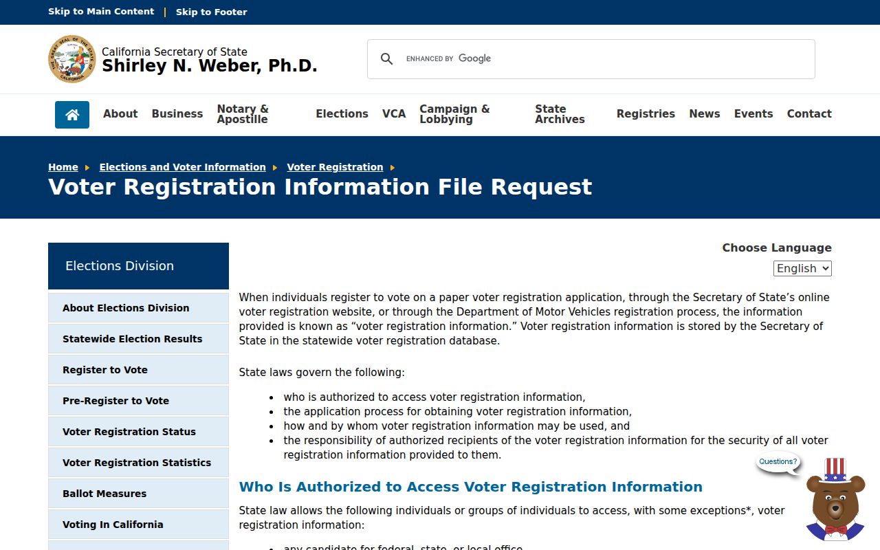
The image belongs with the access discussion: a formal request can define geography, but it does not turn voter data into permission to publish a household roster.
Monterey Neighbors and Neighborhood Boundaries
Monterey’s Neighborhood and Community Improvement Program map names Aguajito Oaks, Alta Mesa, Casanova Oak Knoll, Deer Flats, Del Monte Beach, Del Monte Grove, Laguna Grande, Downtown, Fishermen’s Flats, Glenwood, Monterey Vista, New Monterey, Oak Grove, Old Town, Skyline, Villa Del Monte, Ryan Ranch, and federal areas. The 2024 map and 2025 roll call provide civic geography and representatives. They do not create a public directory of every household or a membership list.
Older city material mentions New Monterey, Casanova Oak Knoll, and Monterey Vista associations, but current public member directories and joining systems were not verified. Treat a meeting appearance or representative listing as public civic contact evidence, not consent to identify private residents. The City Clerk’s I-SEARCH index can add legal, fiscal, and historical city records; Building Safety and Planning address files are the fallback for property-specific questions.
The Monterey City Clerk records-management page is the official starting point for city records and CPRA routing.
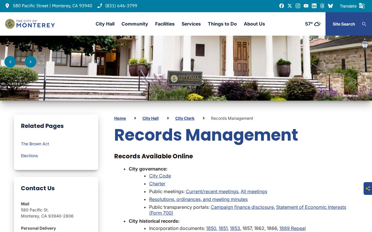
The City Clerk image reinforces the distinction between a public records index and a private neighborhood roster. A narrow request should name the address, record series, date range, and desired format.
NCIP Contact
engineering-admin@monterey.gov
831-646-3921
Program boundaries, representatives, and public meeting context.
City Suggestions
suggest@monterey.gov
831-646-3799
General City of Monterey contact route, not a household directory.
City Clerk
Few Memorial Hall Room 6, 580 Pacific Street
831-646-3935
Phone and email hours are 8-12 and 1-5; in-person service is by appointment.
Historical Monterey Neighbors in Haines
For an older block, the California History Room’s Haines Monterey, San Benito, Santa Cruz city and suburban criss-cross directory supplies an address-to-occupant route from 1970 to the current local holding. Start at a street and number, copy the listed name exactly, then move to the alphabetical entry. Later volumes can reverse phone numbers. The source shows a printed listing for a year, not a complete census of renters, children, guests, or unlisted households.
Polk city directories, telephone books, census schedules through 1950, newspapers, obituary indexes, and Sanborn maps fill earlier gaps. The History Room’s directory run reaches 1905-1987, while phone books are held for 1906 and 1943-current. Sanborn editions and corrections from 1885 through 1962 help match a building when an address changes. This historical layer is useful for family history and neighborhood curiosity, but it should be cited as dated evidence rather than present-tense proof.
Monterey Neighbor Records or Commercial Tools?
A commercial neighbor-search category may combine public and purchased data, but it can merge similar names, retain stale addresses, and hide the source behind a paid result. Official records can also be incomplete, yet their custodian, coverage, and access rule are visible. The better choice depends on the question.
| Route | Strength | Limit | Best Monterey use |
|---|---|---|---|
| County GIS | Shows parcel shape and civic geography | No owner or mailing fields | Define the block and collect APNs |
| Assessor and Recorder | Official parcel facts and named land-document parties | Owner is not every occupant | Check property interest and transfers |
| Qualified voter file | Possible registration fields for an approved purpose | Application, fee, security, and use limits | Lawful aggregate or specified-voter research |
| Reverse directories | Dated address-to-listing evidence | Omissions and era gaps | Reconstruct a past block |
| Commercial category | May offer a fast lead across datasets | Unknown provenance and stale matches | Only a lead to verify with a custodian |
Privacy Boundaries for Monterey Neighbors
Renters, household members, utility customers, delivery recipients, DMV addresses, and protected residents are not supplied by the open block map. Safe at Home provides a confidential substitute mailing address for eligible survivors and certain reproductive-health participants; it does not erase every old copy or unrelated web page. Recorded-document redaction rules can limit public images without proving that the underlying instrument never existed.
Use a Monterey neighbors lookup for proportionate personal research, reconnecting, civic context, or awareness of a place. Do not publish sensitive addresses or use voter, court, or statutory registry information to watch, threaten, stalk, harass, or intimidate a person. California stalking, criminal-threat, identifying-information harassment, voter-misuse, and Megan’s Law provisions can apply to records-enabled abuse.
Lawful use. A parcel, directory, or voter record is not permission to intrude on a person’s life. Verify identity with the custodian, respect sealed and confidential fields, and stop when the lawful personal purpose ends.