
Monterey Street Directory: Start at an Address
An address is the best starting key for Monterey address research because it can be tested against several custodians without assuming that an owner is the person who lives there. First locate the parcel, then preserve the APN, legal description, subdivision, and current document clues. The county GIS layer is a map and parcel tool, the Assessor is an APN-based property source, and the Recorder is a party and document index. A reverse directory adds a printed occupant lead. Each step answers a different question.
- Locate the address in County GIS. Capture the APN, parcel status, jurisdiction, legal description, and current or creating document number shown with the parcel.
- Check the Assessor by parcel or assessment number. Compare ownership, values, exemptions, and characteristics, while treating the result as assessment evidence rather than proof of occupancy.
- Walk the nearby parcels in the map. Select adjoining polygons or a street segment and use the attribute table or export to keep the block’s parcel keys together.
- Follow the Recorder document trail. Use a current document number to find named grantors and grantees, then test the earlier seller as a prior grantee.
- Add household clues from print sources. Check Haines, Polk, and telephone directories for the target year, then compare adjacent addresses and census or newspaper evidence.
The strongest match has two independent attributes, such as a name plus an address, or an address plus a document party and date. A deed proves an interest or transfer. A directory proves that a person was printed at an address during a particular edition. The address path becomes useful when those limits remain visible. When the question shifts from everyone connected to a street to one person, the Monterey resident search uses a different record path.
Monterey Parcel Report, Street by Street
The Monterey County Parcel Report viewer supplies the map layer that makes a street-by-street search possible. Its “Find address or place” box uses autocomplete and returns no more than six suggestions. “Find Parcel” accepts APN or APN_FORMAT, including partial matches, and also returns up to six choices. A search can begin with one address, then expand to the surrounding block without turning the map into a list of people.
Parcel Report tools include point, line, rectangle or extent, circle, polygon, and freehand selection. Selection works by intersection, so a shape touching a parcel can include it. Measurement, filters, layers, Street View, ParcelReport, print, the attribute table, export, and saved sessions support different parts of the same inquiry. The service caps a selection or layer query at 2,000 records. Large streets should be divided into smaller shapes and saved with the date and query terms.
The open parcel layer exposes APN, acreage or square feet, TRA, land and improvement values, current, creating, and terminating document dates and numbers, legal description, subdivision, city or jurisdiction, zoning, flood and hazard fields, school, fire, water, recreation, and service districts, plus coastal, historic, and environmental fields. Owner and mailing-address fields are absent. That omission is a deliberate boundary, not a failed address search.
Monterey Records by Address
The Monterey address record set is built from sources that meet at the parcel or street address, but the sources do not have equal reach. The table below separates geometry, assessment, title evidence, historical listings, property work, and qualified voter data. Keeping those roles separate prevents a map field or a printed name from carrying more weight than it can support.
| Record Set | Keeper | What It Shows | Access Channel |
|---|---|---|---|
| Parcel map and GIS | Monterey County GIS | Parcels, APNs, legal and district clues | Viewer, table, export, map tools |
| Value Notice | County Assessor | Assessment, ownership facts, exemptions, characteristics | APN or assessment search; counter reports |
| Recorded documents | County Recorder | Named parties, document type, dates, deed chain | Current and historical indexes; counter or mail |
| Surveys and plats | County Surveyor | Parcel lines, subdivisions, corners, engineering record | Research tool and archive inquiry |
| Reverse directories | Monterey Public Library | Listed address occupants and some phone clues | History Room appointment and limited reference |
| Permits and planning | City departments | Property work, reports, plans, and occasional owner references | Portal, counter, jackets, files, or CPRA |
| Voter data | County Elections and California SOS | Qualified address or self-registration information | Authenticated self-check or approved application |
The APN is the bridge between the GIS parcel and an Assessor or Recorder query. A street name alone is weaker because recorded documents are indexed by party, document, and date rather than by a dependable street browse. Property jackets can add context, while directories can add an adult listed at the address. None of these channels promises a complete household roster.
Monterey Assessor Records by APN
The Monterey County Property Value Notice is designed for a known parcel key, not for browsing residents by name or street. Its search instructions distinguish a Fee Parcel Number from an Assessment Number. A person starting with a Monterey address should obtain the APN from GIS first, then enter the number exactly as the county describes.
| Field or control | How it works |
|---|---|
| Search By | Choose Fee Parcel Number or Assessment Number. |
| Number box | Enter 12 digits, or at least six partial digits, without punctuation or spaces. |
| Result choice | Double-click the intended assessment before opening the record. |
| Property Information | May show ownership, parcel status, TRA, assessed values, exemptions, and characteristics. |
| Roll Value | Provides the roll-value view associated with the selected assessment. |
For a deeper paper trail, the Assessor lists a $24 residential characteristics report, a $3 map print, and a $2 photocopy or screen print. The office can be reached at 831-755-5035. These paid or counter channels matter when the free view does not contain the needed detail. Government Code §6254.21 and Revenue and Taxation Code §408 help explain why the public interface does not offer an owner-name browse or promise a mailing address. The result is assessment information, not a title warranty or a current-condition inspection.
Insider tip. Start with the APN, not a guessed owner name. It keeps the address research anchored to the parcel while similar names and changed mailing addresses are tested separately.
Monterey Situs, Mailing, and Legal Records
Three address ideas are easy to blend together in a street search. Monterey records work better when the physical location, the correspondence destination, and the recorded land identity are written down as separate fields. The legal description can remain stable when a street label changes, a parcel splits, or a mailing address points somewhere else.
- Parcel
- A mapped unit of land identified by an APN. It describes the county’s land record, not every person present there.
- Situs address
- The physical location of the parcel or improvement. It is the address to place in GIS and compare with a map.
- Mailing address
- The destination for tax or other correspondence. It can differ from the situs and is not an occupant list.
- Legal description
- The recorded words that identify the land, such as a subdivision or mapped parcel reference, beyond the street line.
- Plat
- A recorded survey map that lays out parcels, streets, easements, or corners and helps reconcile older and newer descriptions.
- Criss-cross directory
- A reverse directory arranged by address, often leading from a street and number to a listed household or phone entry.
For Monterey, the legal description and APN are often the safest bridge from a current map to older documents. A mailing address may belong to an owner elsewhere, and an owner may not be the occupant. Treating those distinctions as definitions rather than assumptions is a core street-by-street research habit.
Monterey Deed Records Trail
The land portion of the Monterey street directory runs through the County Assessor-County Clerk-Recorder. The current index covers 1978 to the present, while the historical index reaches from 1850 through 1977. The current document number shown by GIS can be the handoff to the Recorder’s party index. Search the grantee named in one deed as a later grantor, test spelling variations, and compare APN, legal description, document type, and recording date at each step.
The Recorder is not a street-browse tool. The web index is a finding aid, so a no-result search can reflect a spelling variant, a different document type, a historical handwritten page, or a property split. The counter is at 168 West Alisal Street in Salinas, Monday through Friday from 8:00 to 5:00. Phone help is available at 831-755-5041, with a Monterey Peninsula line at 831-647-7741. Mail copy requests go to PO Box 29, Salinas, and should state the document number or reel and page, recording year, at least one exact indexed party, and document type. The Recorder record-search instructions set out those copy-request keys and office channels.
The Monterey County Recorder current-index disclaimer explains why index results need verification before they are treated as an instrument. The screenshot below comes from that official access lead.
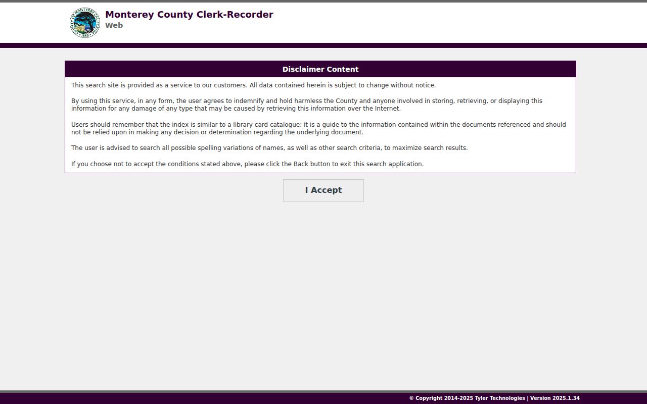
The catalog-like warning is useful in practice: keep the result identifier, query spelling, access date, and image or copy status. Recorder copies cost $2 per page, with $2 for certification. A certified copy confirms what the custodian issued, but it still does not prove that every person at the address lived there.
Note: Search both Monterey Recorder indexes and ask the counter about handwritten alphabetical pages when text search fails.
Monterey Reverse Directories
The historical part of a street directory comes from the Monterey Public Library’s California History Room. Its Haines Monterey, San Benito, Santa Cruz city and suburban criss-cross run covers 1970 to the present and works from address to listed occupant, with later reverse phone material. The Polk city-directory run spans 1905 to 1987, with selected earlier county directories. Telephone directories include 1906 and 1943 to the current holdings. The library’s genealogy resources page is the best starting point for the shelf and catalog description.
The History Room is appointment-only, quiet-study, and noncirculating. Call 831-646-2091 for collection guidance and limited remote reference. A useful pass through the books starts with the reverse section, copies the entry exactly, then moves to the alphabetical name section for spouse, occupation, and address clues. Scan adjacent numbers for block context and repeat the same address in the preceding and following editions.
Gaps need restraint. The research record does not establish that every volume preserves the same symbols or a complete owner and occupant distinction, so verify each volume’s title page and abbreviation key. Pair a printed listing with census records through 1950, newspapers, or an obituary rather than treating a single Haines or Polk line as continuous residence. The broader shelf and year runs are described on the Monterey city directories page.
Monterey Street Records: Permits and Planning
Property work supplies a different address trail. Monterey’s Permit Center and Building and Planning counter is at 580 Pacific Street, Room 1, with phone service at 831-646-3799. The newer MyMonterey portal is account-oriented, and anonymous historic search fields were not verified. Ask Building Safety for the property jacket when the portal does not expose the needed period. Older jackets may be on microfilm, later files on paper, and much material is computerized from the mid-1990s onward. Plans and drawings can carry copyright limits.
Planning address files at 570 Pacific Street can add variances, use permits, blueprints, clippings, staff reports, minutes, and historic-preservation material. The Planning contact is 831-646-3885. For city records outside a verified portal, the City Clerk’s office is in Few Memorial Hall, Room 6, at 580 Pacific Street, with 831-646-3935 for phone or written requests. A secure drop box is opposite the Council Chamber ADA entrance, and the city retention schedule began in 2005 with a 2018 amendment.
The Monterey Permit Center and the Monterey City Clerk records channel form a useful fallback pair. Give the address, date range, record series, and desired format. If no ordinary access path answers the question, a narrow California Public Records Act request can seek a disclosable file from the custodian without assuming that a portal must exist.
Monterey Voter Records and CPRA Routes
Voter information is not a public street directory. California’s My Voter Status tool is an authenticated self-check using identity fields such as name, date of birth, a California driver license or ID, or the last four digits of an SSN. It can return a person’s own registration status, party preference, county, polling, and ballot information. Protected voters are excluded, and a failed match does not prove that someone does not live in Monterey.
Qualified-purpose data is a separate channel. Monterey County Elections accepts a detailed voter-file application through its local forms route, with applicant and beneficiary details, purpose and security information, requested geography, delivery method, signature, and identification. The county can supply a countywide, district, city, or precinct extract after review. Questions go to 831-796-1499 or MCEData@co.monterey.ca.gov; processing is quoted at 2 to 3 business days, with price supplied after the request. Delivery may be a secure thumb drive or a protected download. Statewide requests follow California Elections Code §§2188 and 2194 and carry separate eligibility and fee rules.
The same restraint applies to a CPRA request. California Government Code §§7920.000 to 7931.000 permit a request for disclosable records, but the request should name the custodian, address, record series, date range, and format. The §7922.535 deadline rule sets the initial determination ordinarily within 10 calendar days, with a written unusual-circumstances extension of up to 14 days. Historical Monterey voting registers from 1867, 1879, and 1890 are a library alternative, not a current population roll.
Note: A voter-file extract can show authorized registration fields, but it cannot be treated as a complete list of Monterey households.
Monterey Street Directory Continuity in Sanborn Maps
When a street number, parcel line, or building name changes, maps and surveys can preserve the link. The Monterey County Surveyor keeps survey and engineering records dating to 1850, including parcel maps, subdivision maps, records of survey, and corner records. Its research service can help reconcile a Recorder legal description with a modern parcel. The office lists 831-755-4835 as its contact.
Sanborn fire-insurance maps give a second check on structures and address continuity. Monterey holdings are described across editions and corrections from 1885 through 1962, while the Library of Congress digitizes the 1912 set in 26 sheets. The 1912 Monterey Sanborn map collection can help match a footprint, use, street edge, or correction to a parcel record. It does not identify every household, and a map sheet is not a deed.
Tax records are another parcel channel. The Treasurer-Tax Collector at 168 West Alisal Street, 831-755-5057, handles secured and unsecured billing and tax-defaulted sale functions. A tax account can support parcel research, but the taxpayer is not automatically the occupant. Because the research found no authoritative citywide numbering origin or mass-renumbering date, changed addresses should be bridged with APN, legal description, survey, Sanborn, directory, and Planning evidence rather than a guessed chronology.
Monterey Street Directory Limits
A Monterey street directory cannot show everyone who uses a building, receives mail, shares a household, or once gave an address to a private service. A renter or other non-owner occupant may never appear in a parcel, deed, or directory entry. The GIS layer omits owner and mailing fields. Assessor access is keyed to APN or assessment number. The Recorder names parties to instruments, not every occupant. Directories contain omissions and era gaps. Utilities, delivery accounts, and DMV address information are not public resident lists, and the federal Driver’s Privacy Protection Act restricts motor-vehicle personal data.
California confidentiality rules create more gaps. Safe at Home provides a substitute mailing address and mail forwarding for qualifying survivors and reproductive-health participants, but it does not erase old copies or guarantee anonymity. Protected voters are withheld from ordinary extracts. Vital, court, and other sealed records have their own limits. Absence from a Monterey search therefore needs a coverage check, a spelling check, and the right offline custodian before it becomes a conclusion.
Lawful personal use. Use Monterey address and property records for proportionate, lawful research such as family history, property history, civic review, or scam checking. Do not use records to stalk, harass, threaten, intimidate, or publish sensitive information about a person. California restrictions include Penal Code §§646.9, 422, and 653.2, Civil Procedure Code §527.6, voter misuse rules under Elections Code §18109, and other custodian terms.
Keep a source log with the exact portal, access date, query spelling, result identifier, coverage statement, and copy status. The address trail is most reliable when it shows how a parcel, document, directory line, or public file was found, and where the record stops.